When I think about prepping, I often wonder what I would miss the most or NEED the most if something happened. Maybe the event is something simple and easily fixable. Say I was just stuck on the highway going to see my family 600 miles away from home. And, a chemical spill happens, or a wreck that causes hours and miles of delay. If you have a smart phone (we don't) and can access the internet, you could find your way around those problems.
But, what if it's a bigger problem. Say an attack like 9-11. Or an EMP. Or even a natural disaster that damages the power grid enough that we go "dark" for even a few days.
If something big happens, I would want to be with my family or have them come here. The easiest way is to drive. However, planning ahead will be key. I have to map a few different routes, knowing I'll probably have to change many times along the way.
 |
| This would be slow...but moving. |
 |
| But, THIS is a more realistic picture of what you'd experience! |
So. Maps. Paper ones. Like these. If I need to get to Florida, NOT taking I-95 or I-85/75 will be key to success. There are tons of back roads to get there that might not be the parking lot that will be the Interstates. And, once I get to the area, (I picked Jacksonville, FL....ever tried to get around all the bridges and waterways???), I have a local, city map that will help me navigate.
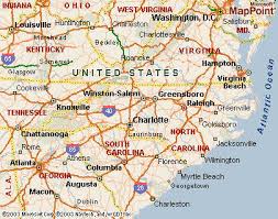 |
| Larger area map |
 |
City Map
|
Be prepared. You need to decide what the plan is for your family. Then, get the maps you need. Think big picture (road atlas, state highway maps, local city maps) for your chosen destination. Sit down and look at different possible routes, noting "problematic" areas (big cities, bridges, tracks, chemical type sites) along the way. Mark your map, make it your own! It might save your life!

